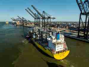
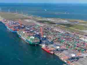
PortVision’s enhanced vessel-tracking service leverages the world’s only comprehensive database of AIS real-time and historical tracking data to provide detailed visibility into commercial vessel activity, from port arrivals and departures to ship movements on the open sea. Within PortVision’s service portal, users now also have full, Web-based access to real-time weather radar overlays and animated loops, plus voyage distance calculations and vessel arrival estimations. PortVision 4.5 also enables users to filter results by ship and port or region, and create user-defined tracking-related VesselZones by simply clicking and dragging points on the map overlay. VesselZones are particularly important for maritime incident response, enabling real-time information and reports to be shared with remote participants and operation centers while also streamlining third-party vessel monitoring to validate activities and costs and to expedite billing.
“Customers rely on PortVision for up-to-the-minute ship-tracking visibility and historical playback of selected vessel incidents, and they spend quite a bit of time in our portal,” said Dean Rosenberg, co-founder and chief executive officer. “Now, it is no longer necessary to leave the PortVision environment to acquire other important information that assists with comprehensive real-time vessel tracking and historical playback of vessel activities and incidents. With PortVision 4.5, it’s all accessible from the same display screen, with enhanced filtering for added viewing convenience.”
PortVision 4.5 can be configured to highlight only specific vessels of interest, or to view all AIS-enabled vessels on the waterway. The optional inclusion of satellite data brings visibility to vessels at sea, as well as unmanned barges and incident response equipment. Additionally, PortVision 4.5 has been enhanced so that users can create user-defined lists to track multiple fleets of any size, including chartered vessels, workboats, tugs, and barges. PortVision 4.5 also will alert users when vessels move in or out of user-defined VesselZones. Additionally, PortVision 4.5 can be used to calculate distances between selected points, and vessel arrival times based on estimated speed to the specified arrival point. Users also can display current status of all selected in-bound vessels.
For terminal operators, PortVision offers the enhanced PortVision 4.5 service features as part of the company’s recently introduced TerminalSmart™ platform. The integrated TerminalSmart dashboard combines vessel-tracking capabilities with powerful management, analysis and reporting tools and enhanced VesselZone capabilities.TerminalSmart users can access historical data and animated playback for any selected vessels and events, in order to streamline vendor and resource management for just-in-time deployment based on current vessel locations, dock availability and in-transit traffic conditions. They also can perform integrated demurrage reporting and analysis, and further accelerate and improve incident response – all from one, comprehensive, web-based solution with a single, unified dashboard environment.
PortVision’s vessel-tracking service taps the company’s comprehensive database of vessel information, which is growing at the rate of 40 million vessel location reports daily and now contains over 10 billion arrival, departure, passing, and vessel movement records. It is the only database of its kind that contains five years of data regarding the movements