Aspectum, a cloud solution for location data visualization and analysis, releases a new interactive map for sea harbor management based on the digital map of Marseille Fos Port in France. After shipping a series of usage scenarios aimed at real estate and retail, the team has now published a new maritime case, showing all major cargo terminals as well as the constitutive points of infrastructure in detail. The detailed visualization allows to analyse opportunities for port infrastructure development as well as to track the terminal capacity and loaded volume of the vessels in the port harbor, plus monitor the virtual gates for inland transportation to avoid delivery delays.
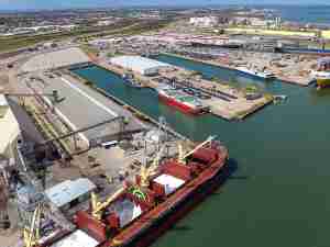
Port Marseille Fos is one of the central hubs of the Mediterranean, consisting of terminals for Oil/Gas and Solid Bulk as well as individual Container, Ro-Ro and Break Bulk terminals. Aspectum recreates all of them in addition to three Logistics & Distribution Areas, plus restricted areas for cargo vessels. The sample map shows how this particular template can be used to achieve a new level of control of all port activities.

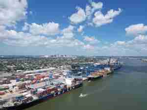
The main highlight is the detailed analysis of Container Terminal, displaying its capacity, maximum crane height, and maximum vessel size. Aspectum shows all container sectors in the terminal and compares their volume. Each one is displayed as a 3D model and differentiated in terms of fill capacity, with dark red for 97% capacity and orange for those lower.
In each sector, you may view the number of containers already in place, total terminal capacity and empty spots that can be used to place the new ones. When clicking each specific container, you may view how many levels it has as well as its height. Via SQL queries you can analyze the container quantity of a certain owner in a designated sector. Container cranes are also marked with size details, allowing them to visualize and plan ship embarkation.
Last but not least, in this particular case, Aspectum can stream security cameras, through the respective layer in the list. Additionally, you may use the satellite footage of the region as a basemap layer instead of the map.
Aspectum is a company based in California. It focuses on digital solutions for improved data visualization through geographic information systems. Aspectum partners with industry-leading companies in real estate, retail, smart city in North America and Europe for enhanced mapping that makes data more available and valuable.